Manor farm, then and now. Shows the progress of restoration from the earliest when I photographed the area to the latest date.
Putting this page together is proving rather tedious. Generally I establish the earliest photo I have of a particular scene then try and find the corresponding latest shot. Typically I find that having decided to do this page, I either do not have more recent photos or those I possess have been taken from slightly different angles or zoom factors. This is all further exacerbated by using two cameras. The earlier photos were taken with my bridge camera, which has a 20mm range for landscape, whilst later photos tended to be with my DLSR which has a 16mm range for landscape via the Tamron lens. Then I discover all sorts of interesting intermediate steps.
Putting this page together is proving rather tedious. Generally I establish the earliest photo I have of a particular scene then try and find the corresponding latest shot. Typically I find that having decided to do this page, I either do not have more recent photos or those I possess have been taken from slightly different angles or zoom factors. This is all further exacerbated by using two cameras. The earlier photos were taken with my bridge camera, which has a 20mm range for landscape, whilst later photos tended to be with my DLSR which has a 16mm range for landscape via the Tamron lens. Then I discover all sorts of interesting intermediate steps.
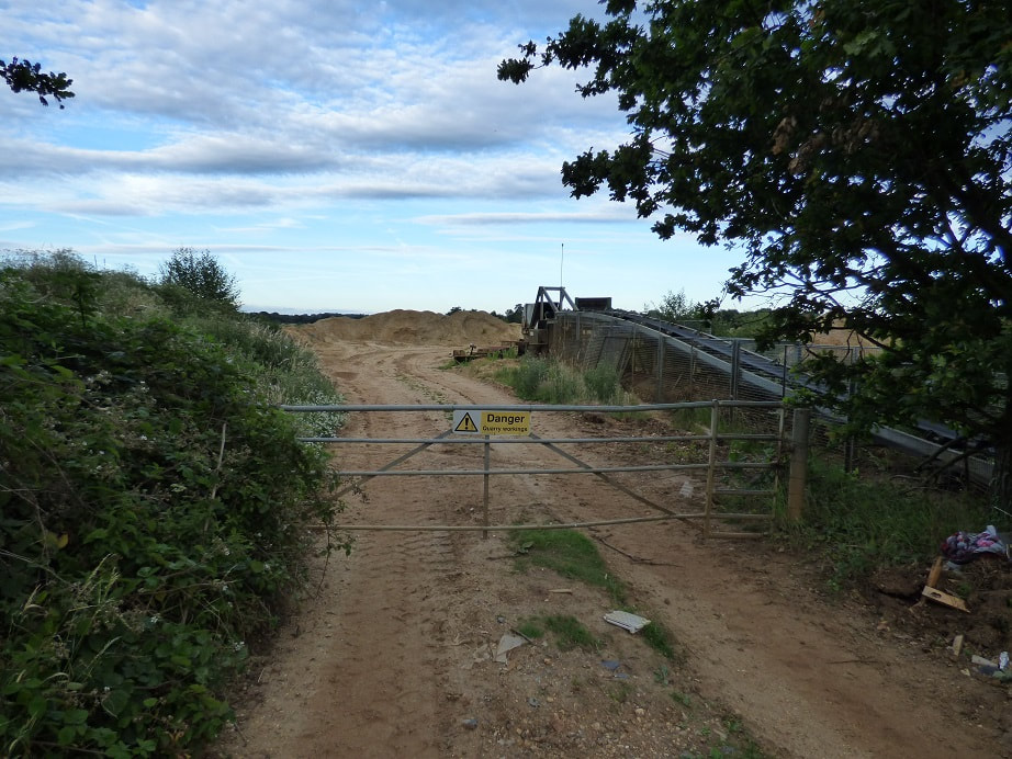
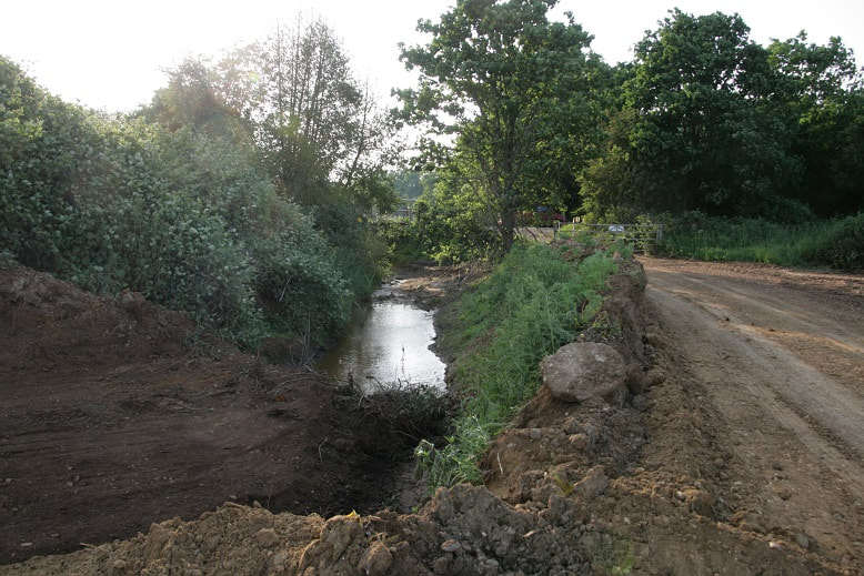
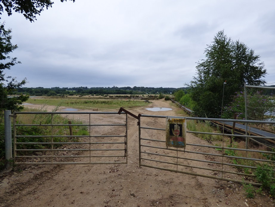
View east of the Longwater road entrance from the Longwater road.
View east southeast from Longwater road entrance.
View west back to Longwater road entrance
Closer view west of Longwater road entrance.

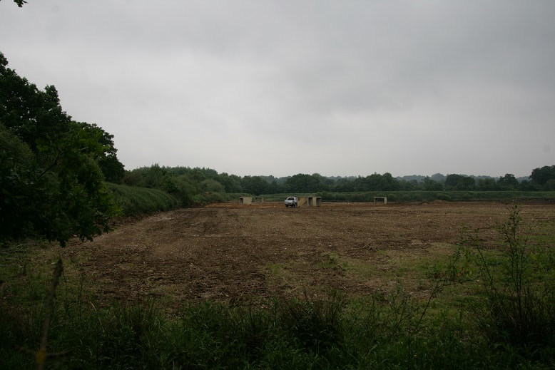
View south from just inside Longwater road entrance.

View east from just inside Longwater road entrance.
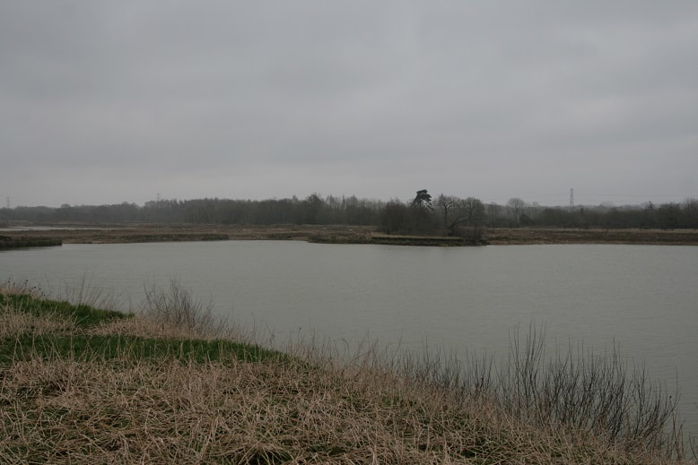
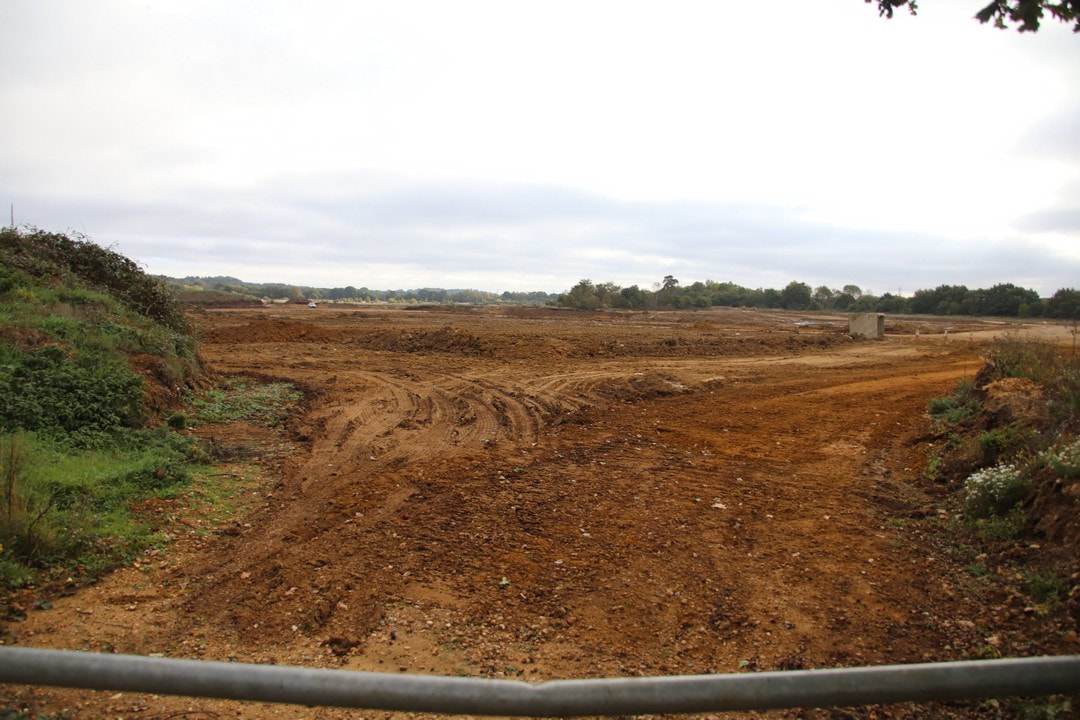
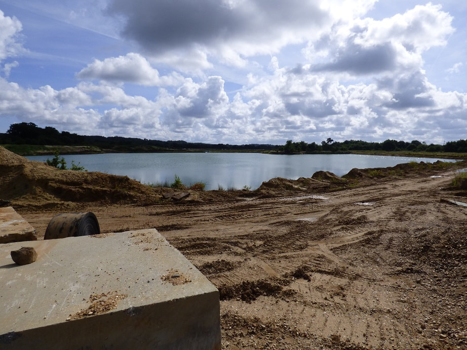
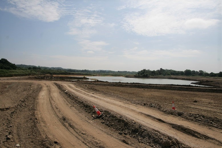
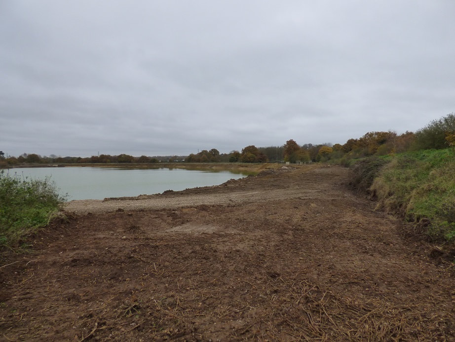
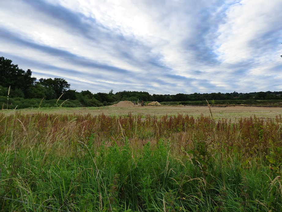
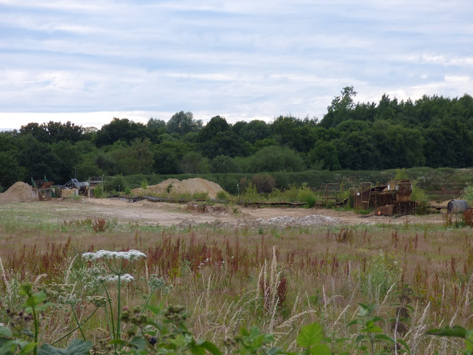
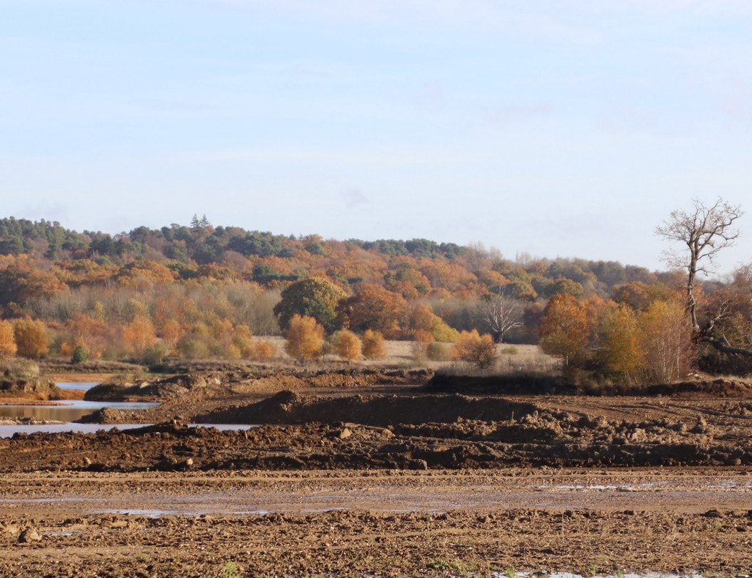
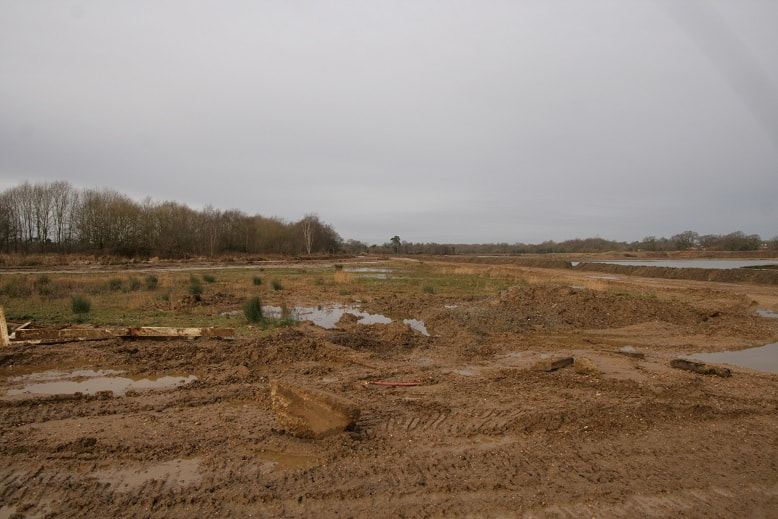
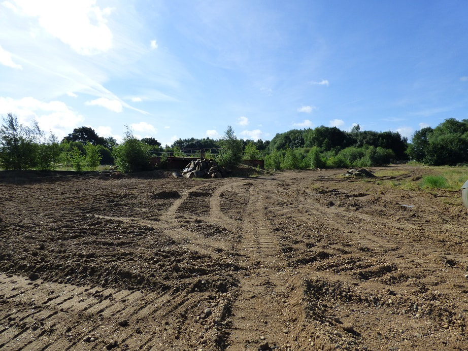
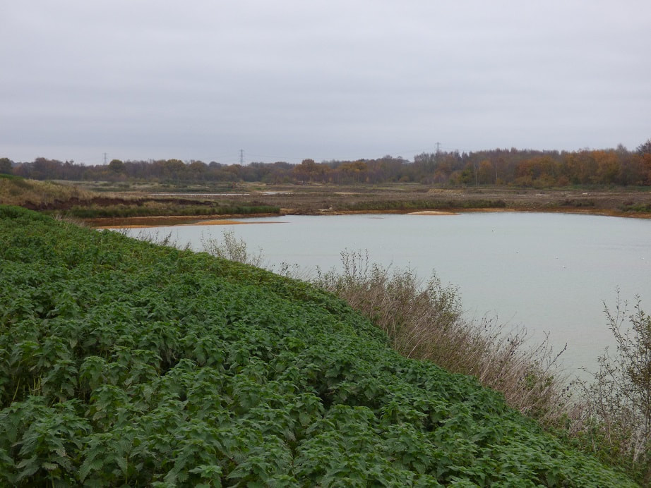
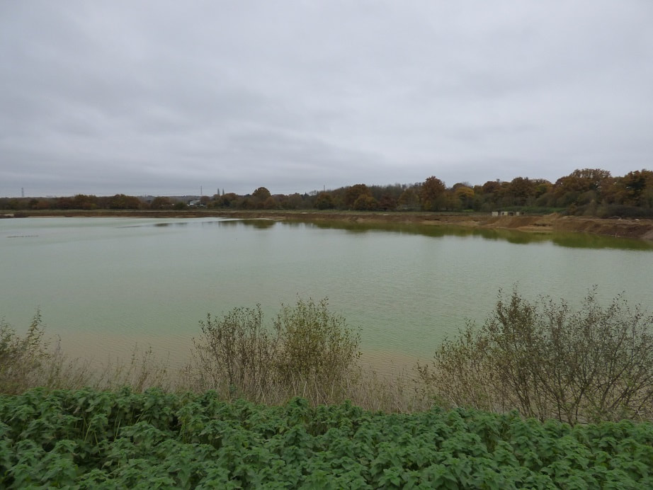
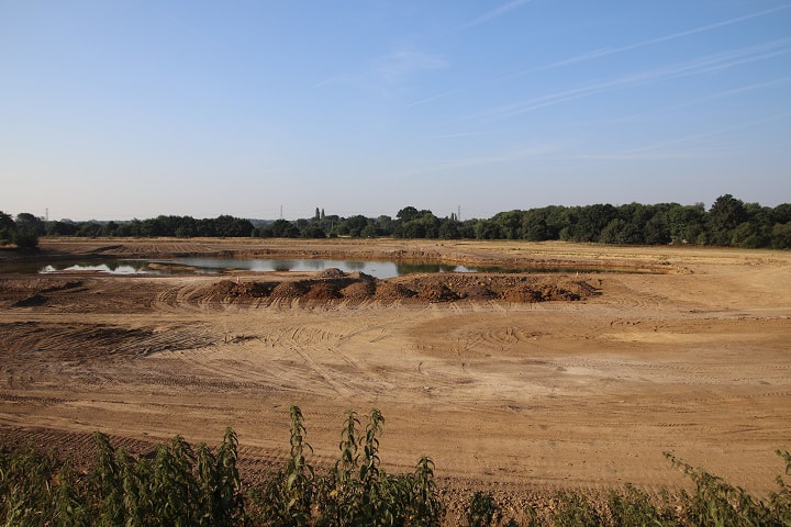
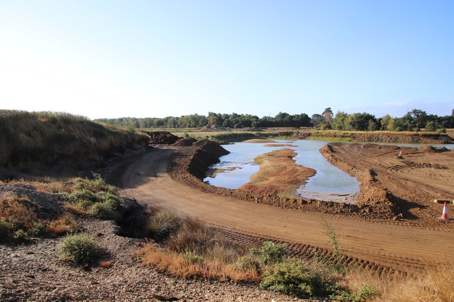
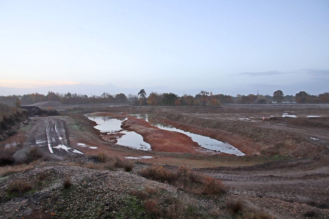
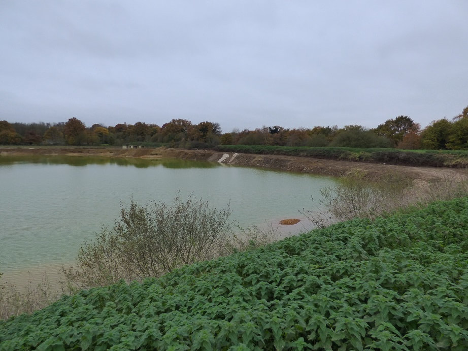
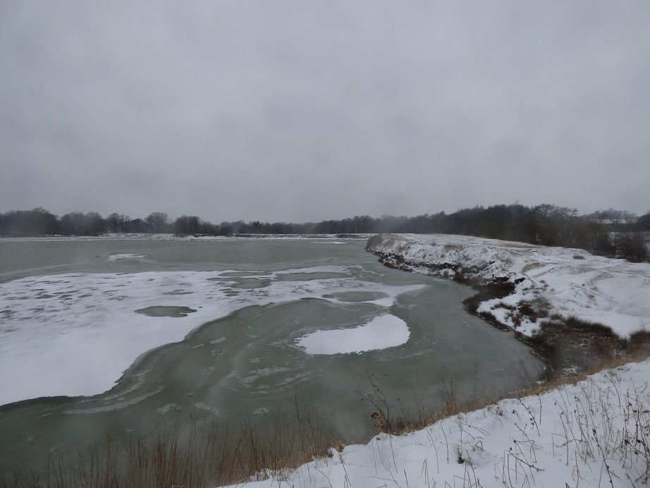
View South east from midway along north embankment
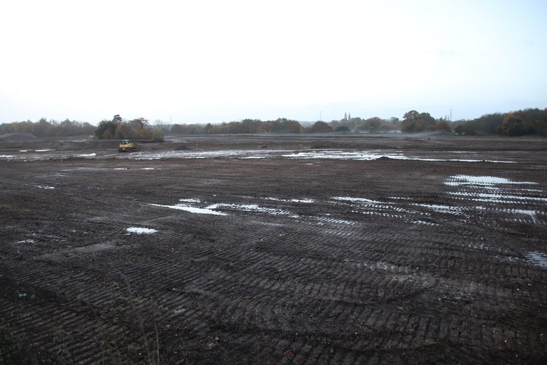
View South from midway along north embankment

View south west from midway along north embankment
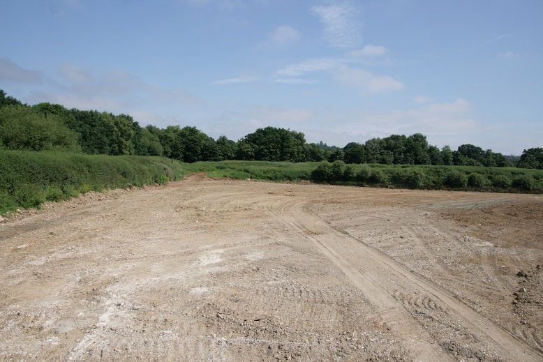
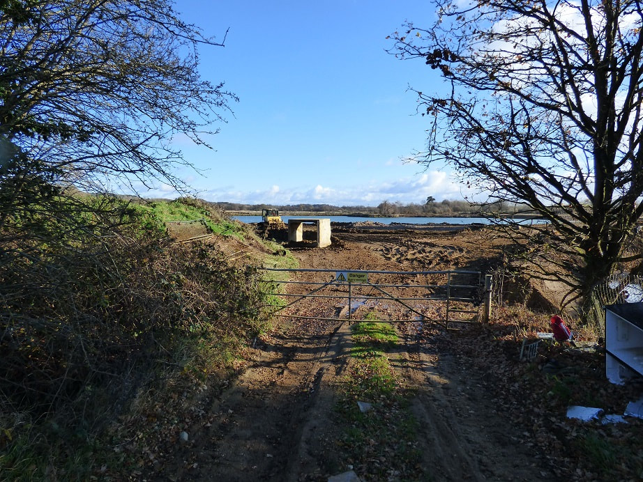
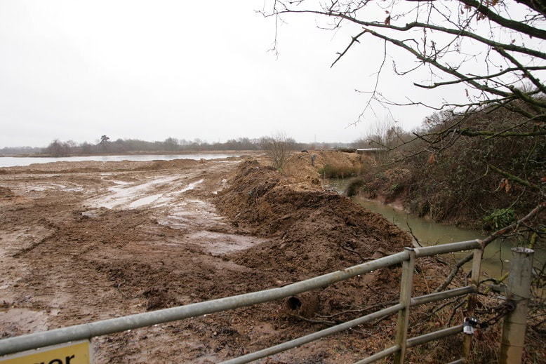
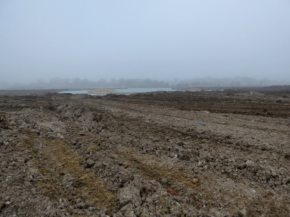
View north from the Longwater road entrance.
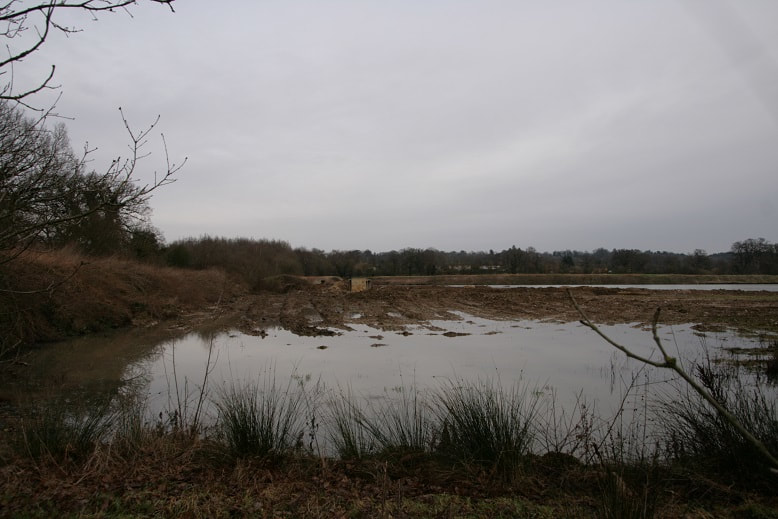
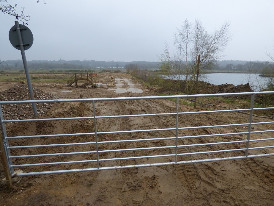
View south from north embankment looking back to Longwater road entrance.
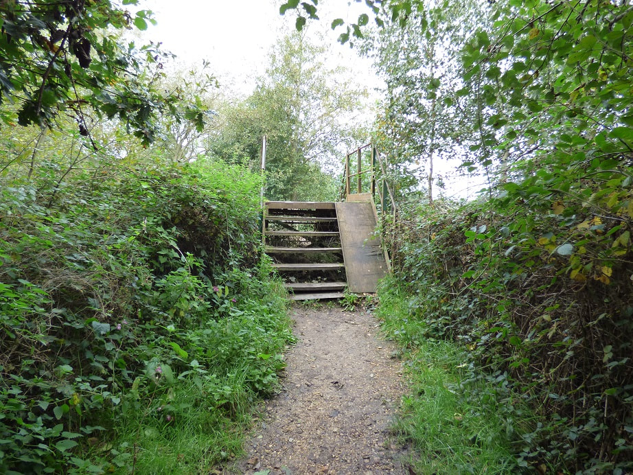
North view of Longwater road entrance from south footpath.

North west view of Longwater road entrance from south footpath.
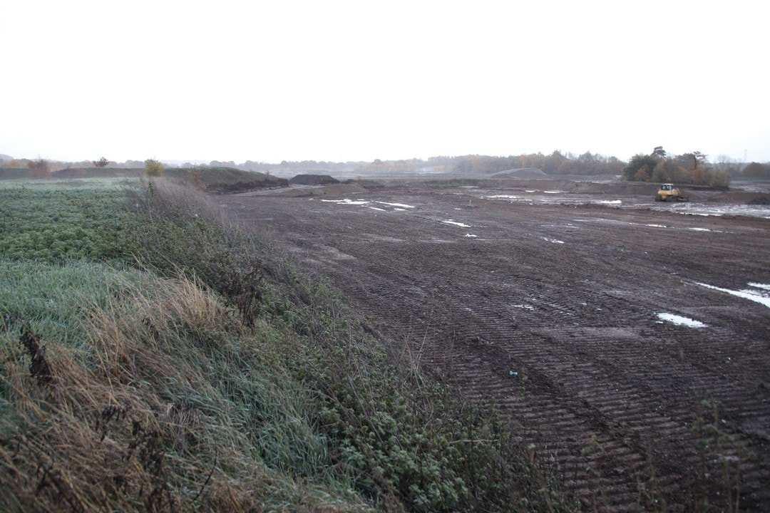
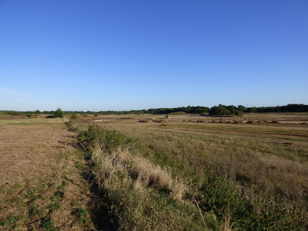
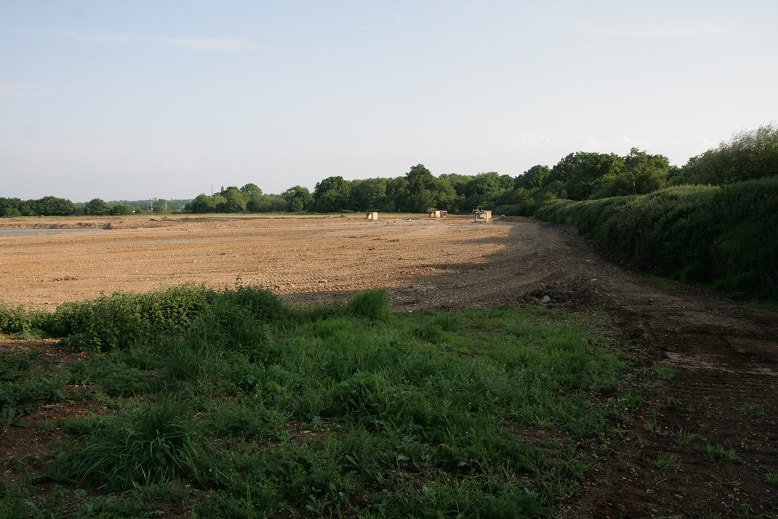
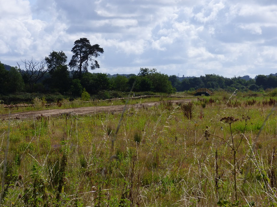
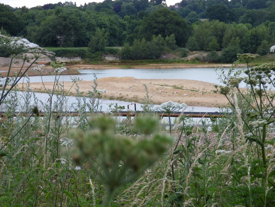
View north east from south footpath of the copse area. Newer photo required to match old


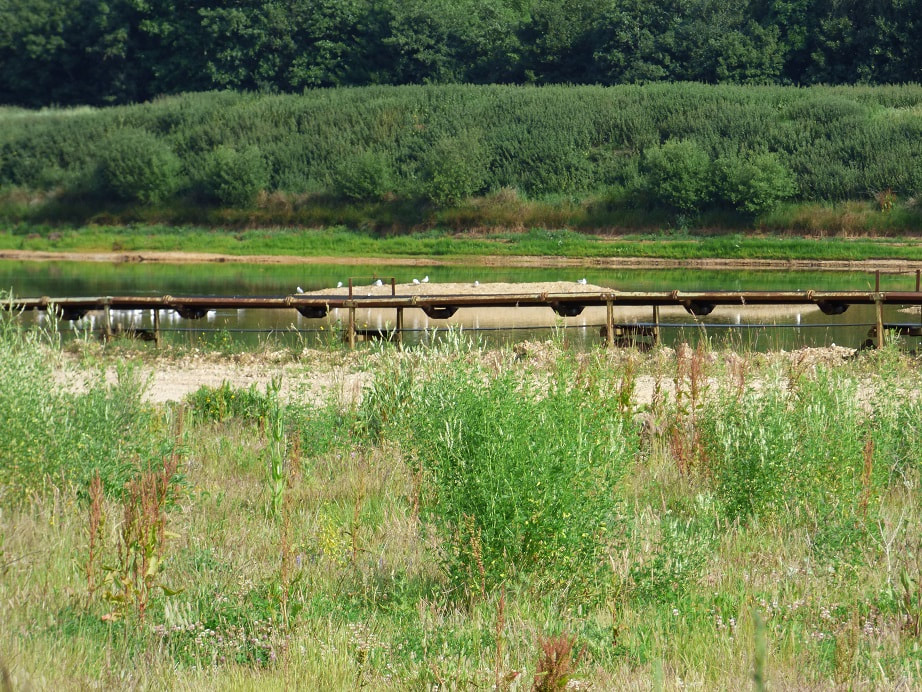
Channel between Finch pond and Cormorant lake. North east facing shot from south footpath.


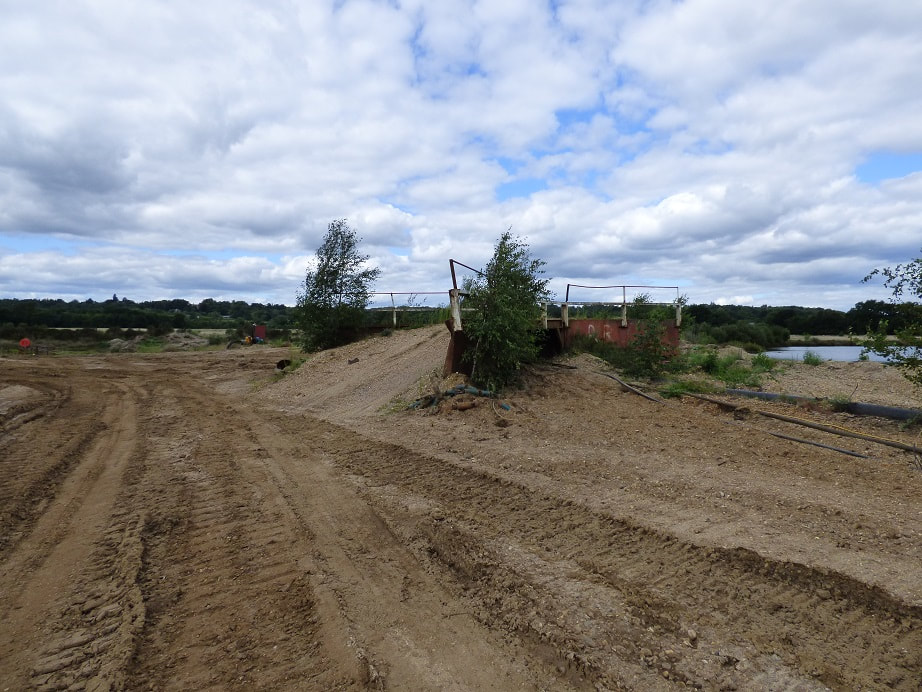
An easterly view from the south footpath of the yellow bridge. Possibly needing a new photo to complement the old better. I'll need a better photo to complement Diane's. The body of water in
the foreground had been filled in prior to my recordings.
the foreground had been filled in prior to my recordings.
View north of Cormorant Island from south footpath

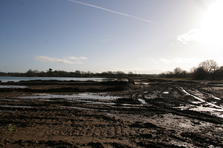
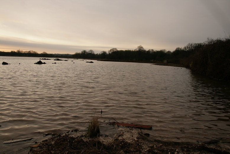
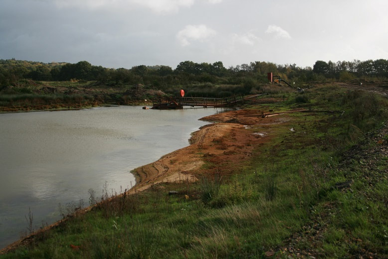
I've often commented on how low the water levels can get in Cormorant lake. Here is a north facing shot from approximately the middle of the south shore of Cormorant lake.
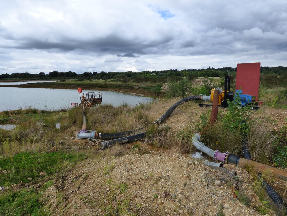
View north of Pump station from works bridge.

Iron footbridge whilst walking west on the South footpath.
View of iron footbridge whilst walking east facing view.
Another east facing shot of iron footbridge but this time with the works bridge.
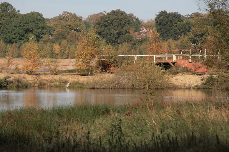
South south east facing shot of works bridge with Chandlers farm on the other side of the Blackwater
View north of Pump station from atop iron footbridge.
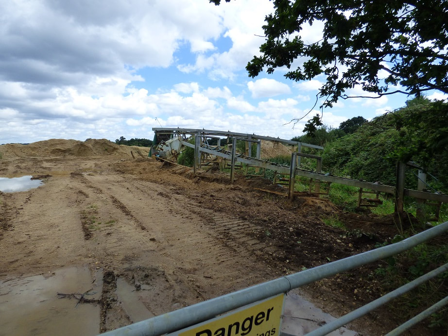
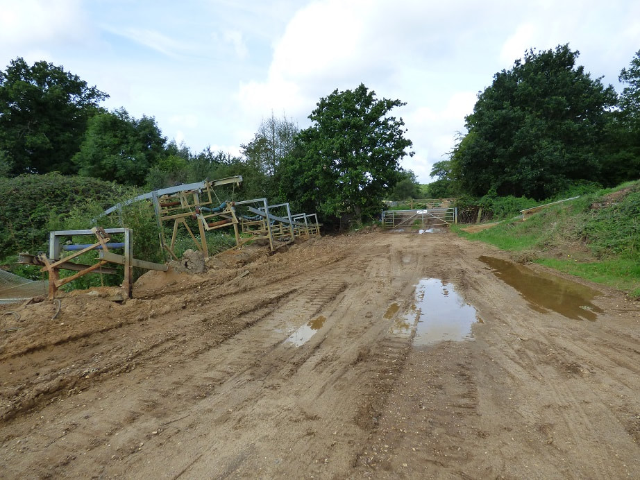
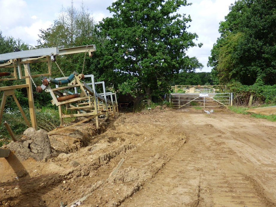
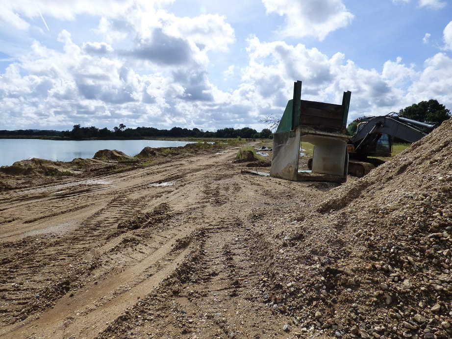
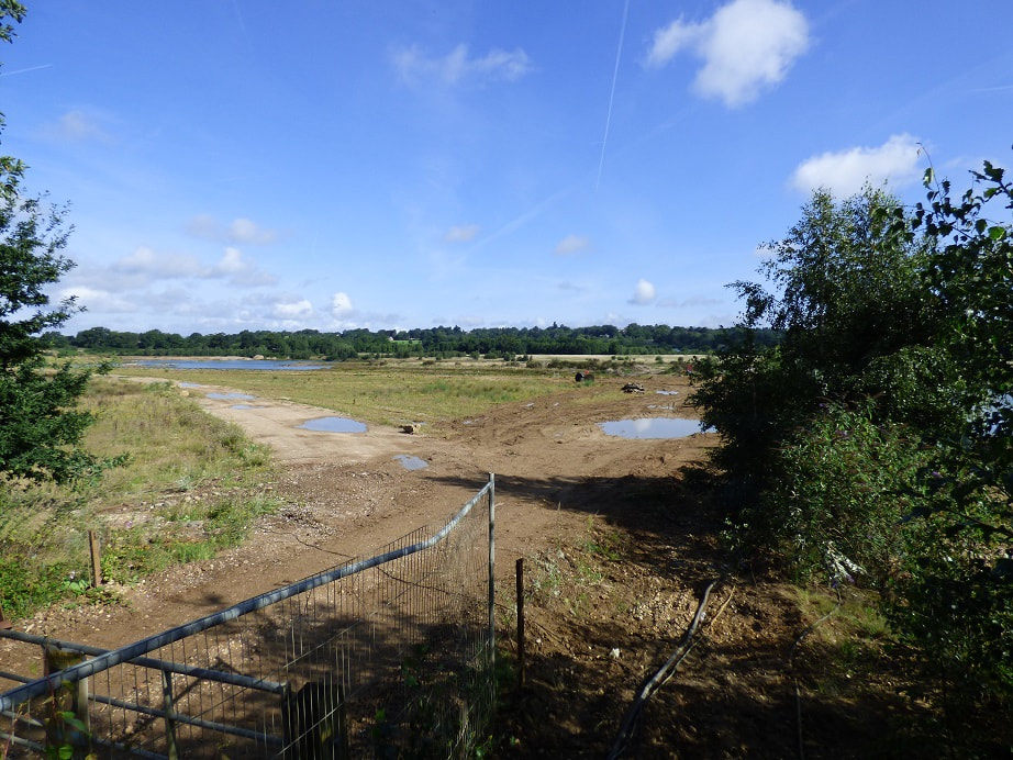
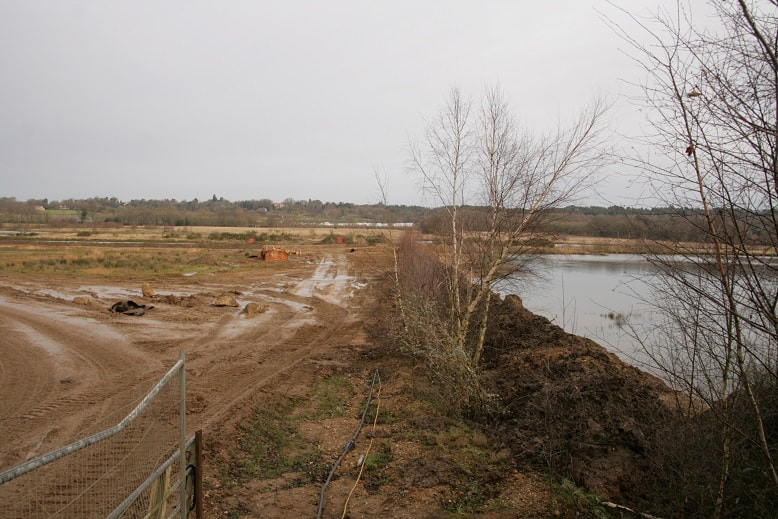
View west from near Pump station
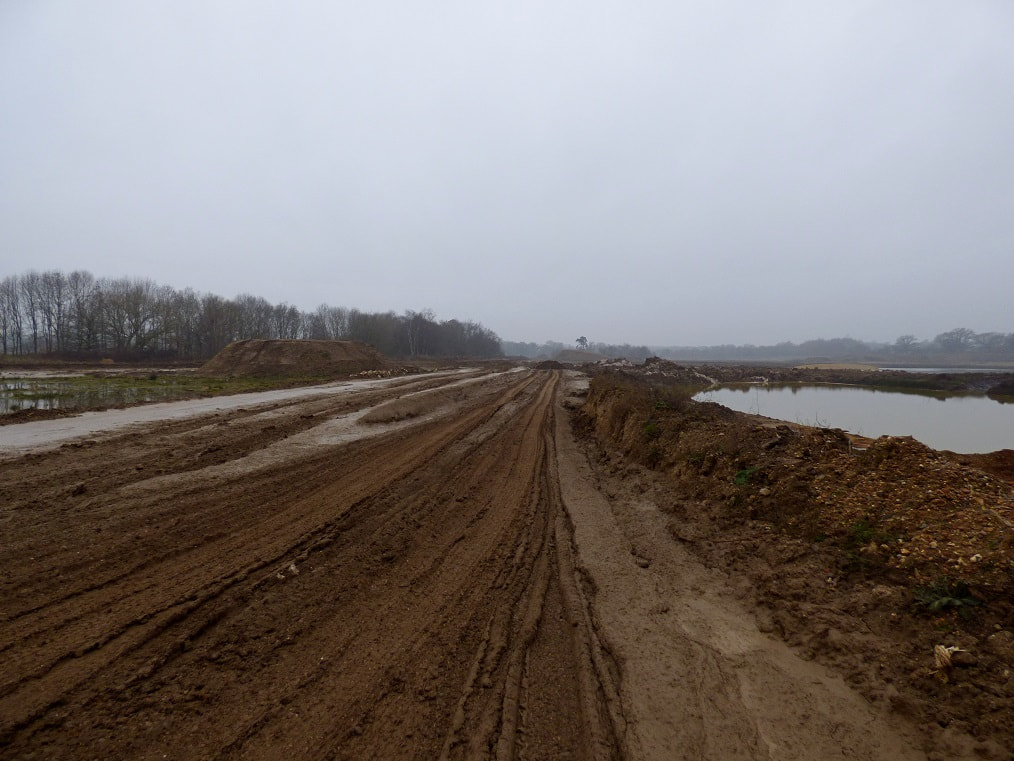
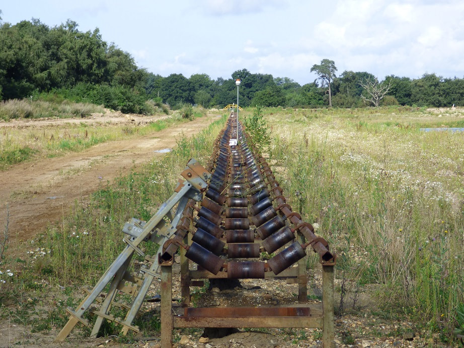
View west from near Pump station. Left photo is shortly after the conveyor was removed.

View north of Pump Station, then removal of pump.
View south from Pump station
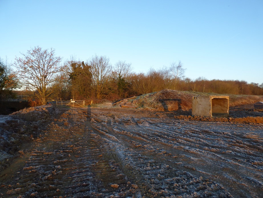
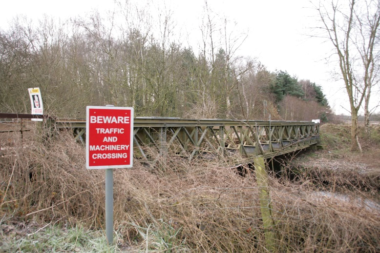
View north of pump station bridge. Definitely needs a more up to date photo.
North east view of pump station bridge from the south footpath. Zooming in a fair amount.

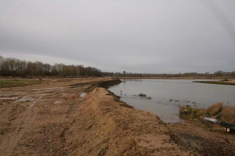
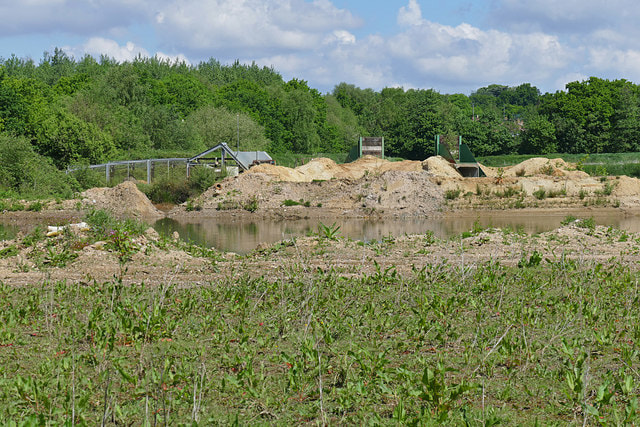
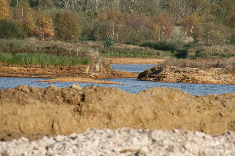
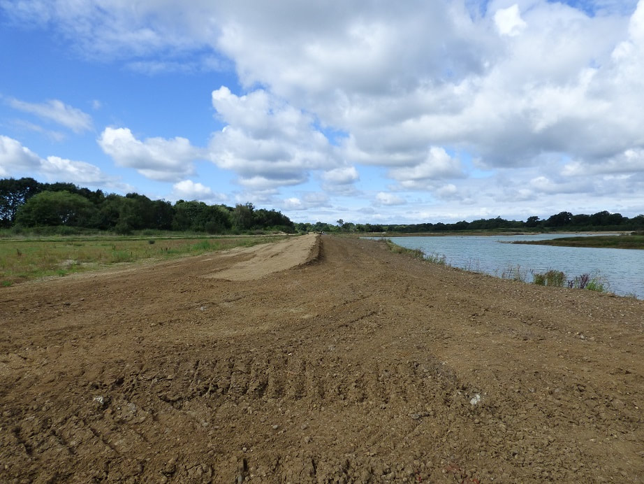
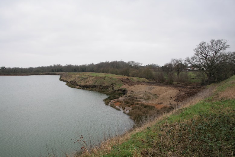
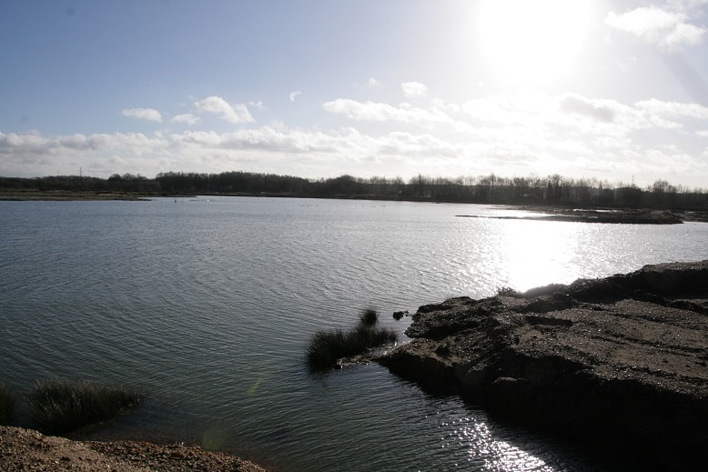
View west from pump station over south shore of Cormorant lake showing various water levels.

View east back to pump station from a little way west along south shore of Cormorant lake showing various water levels.

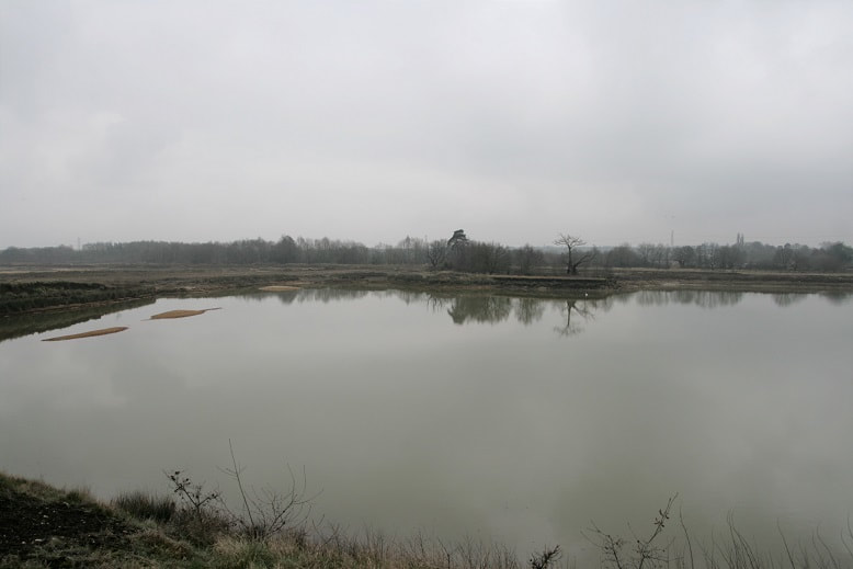
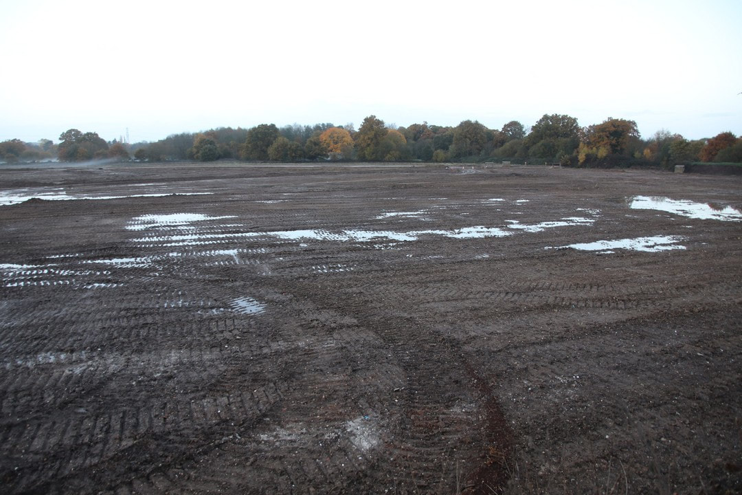
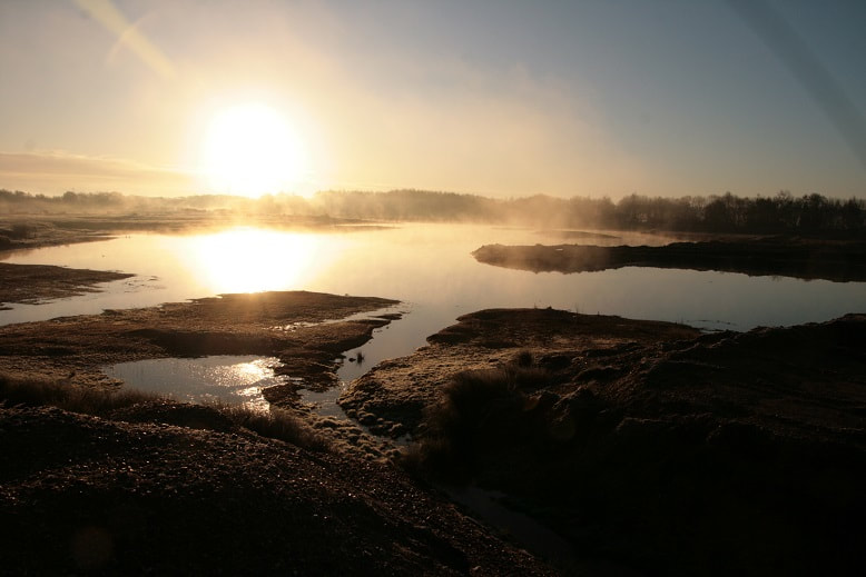
South east over Finch pond from midway along north embankment

South over Finch pond from three quarters the way along north embankment
South over Finch pond from midway along north embankment


South over Finch pond from north embankment along side ridge

South west over Finch pond from north embankment

West north west over Finch pond from ridge
East south east over Cormorant lake from north embankment
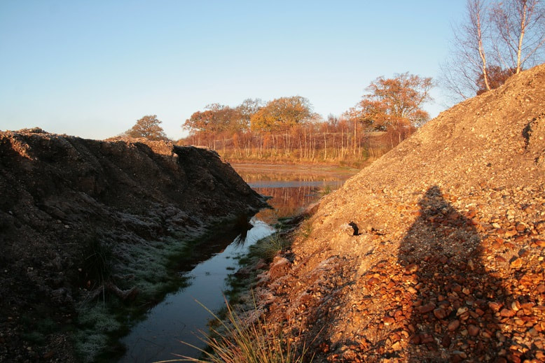

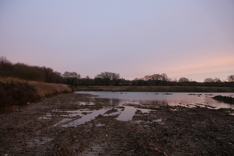
Channel between Cormorant lake and Cormorant lake north. Rising water levels.